

Delaware Weather Guy 's Weather Weeklies
A weekly weather planner and some "tidbits" of useful weather information.


WEEK OF 4/4 OUTLOOK
Looking at next week we have chances for rain almost everyday except tomorrow and next Sunday, but seven days out I can tell you we are getting a blizzard and it could happen (NO IT’s NOT..JUST A JOKE :} )
The real heavy days to plan around probably will be late Tuesday and early Wednesday morning. The RED arrows means there is a high chance for things to happen. The YELLOW/GOLD colors mean a less than higher chance and the GREEN arrows are basically the “Forget About” worry-free days for rain showers. The details are not in there so stay tuned for that.
Next Saturday also looks troublesome, but that is way out and we were worried about this past Saturday and I was at the Phillies game in sunshine. Although places in Delaware city and downstate in Dover received some heavy hitters last night. I was a bit concerned at those. Here is a storm report It looks like most of the reports were some wind and hail issues reported in PA and western Maryland.
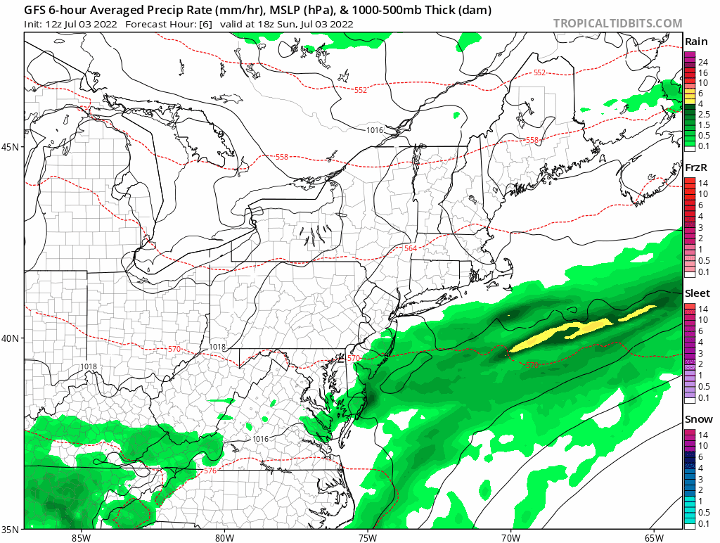
Here is a look at the GFS for all of next week. It goes fast, but it’s for a general look not to be taken too holy for a forecast:
LA NINA TIME!
The Climate Prediction Center defines. . .
"El Niño conditions" as existing when:
A one-month positive sea surface temperature anomaly of 0.5° C or greater is observed in the Niño-3.4 region of the equatorial Pacific Ocean (5° N - 5° S, 120° W - 170° W) and an expectation that the 3-month Oceanic Niño Index (ONI) threshold will be met, AND
An atmospheric response typically associated with El Niño is observed over the equatorial Pacific Ocean (see The ENSO Cycle).
"La Niña conditions" as existing when:
A one-month negative sea surface temperature anomaly of -0.5° C or less is observed in the Niño-3.4 region of the equatorial Pacific Ocean (5° N - 5° S, 120° W - 170° W) and an expectation that the 3-month Oceanic Niño Index (ONI) threshold will be met , AND
An atmospheric response typically associated with La Niña is observed over the equatorial Pacific Ocean (see The ENSO Cycle).
We are in the midst of a La Nina pattern and we have been for quite sometime The graphic below shows average sea temperatures in the Pacific at least 1-1.5 degrees below normal. This creates anomalies in weather patterns and the jet stream which carries the weather.
Typically, a La Nina Summers usually bring about much drier conditions, but that doesn’t mean it won’t rain, but we will have more “Warm” degree days than the norm. And you can’t blame any one event on La Nina, or El Nino it depends on the strength of this phenomena. Right now, we have a moderate La Nina which is anticipated to go through into this coming Winter.
For More Information: El Nino and La Nina

FUN IN DELAWARE THIS JULY
Check out: Events and Festivals!

