

DAILY WEATHER DIGEST
A daily inside look at weather in Delaware and other weather stories.

There is almost too much to talk about for our weather outlook this weekend. You can see below the timeline for the rest of the week and the holiday on Monday. The weekend itself doesn’t look great overall, but there are going to be stretches of dry weather, but it’s going to be location-dependent. I agree with the forecast, but Saturday I do believe that storms will arrive in the late afternoon, or early evening, but they won’t be damaging. There is no real severe weather with these systems. Just your usual like gusty winds, plenty of rain and moisture. Yet, that will be the first front. The second comes through Sunday, but depending on daytime diurnal heating most of the area could get by with minimal issues.
In other words the more the sun comes out and stays out the worst the storms. So, hope for as little sun on Sunday as possible.
That sounds odd :}

This GFS reflectivity radar that runs goes through Monday and the 4th of July. Notice Saturday seems more spotty with showers than Sunday when the second front comes through. Either way, we will have rain on both days.

The 4th of July is looking increasingly nice and hot.
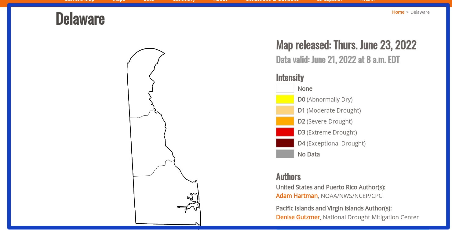
DROUGHT FREE..,.FOR NOW
Delaware and areas of the northeast are pretty drought-free. Soil is pretty moist and rivers are running close to normal with depths close to normal. I will post updates every Thursday.
For more information on other areas and the current drought in other places in the country go to: U.S. Drought Information
I will not put out a weekend digest. So, you will have all of your weather information on Friday. Then I will put out a Sunday Newsletter.
Your digest will be in your inbox by 8 am for the rest of the Summer. When we get into the fall your digest will be in your inbox by 7 am.