Daily Weather Digest
A daily look for the state of Delaware weather.

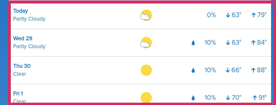
Tuesday looks like:

High: 80 degrees with some clouds. Not perfect but I can tell you PRECIPITATION FREE!! and a whisper of wind. Ahh! isn’t that a perfect picture?

JULY 4th: OUTLOOK :
It’s a week out, but I’ve been taking a look at the 4th for the last couple of days. A few days ago it looked to be a little bit of a washout, but now I think we get through late Sunday night and early Monday morning with some rain leftover from the previous day, and then the issue is how fast does the front pass to the S-SE.
There is a high ridge building in from the west but it’s slow. If that can flatten out a bit then that system can get through faster.
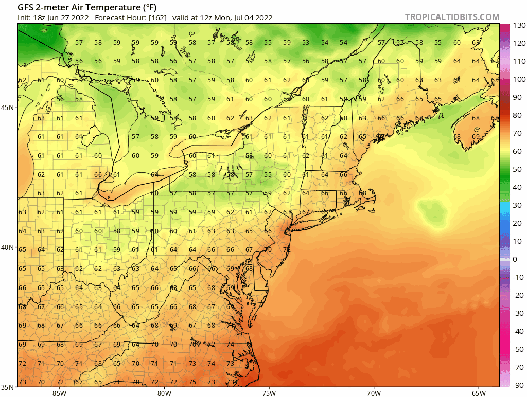
I’ve included the GFS outlook. There is the system that passes through on Sunday night, but then except for a low that blows past us way to our north the overall trend has been for the weather to clear up through most of the state.
Right now, I wouldn’t put the forecast in cement but I’ll look at it over the next few days and if the trend continues we will be just warm and toasty, but no major storm rolling through. I will keep you posted.
This is the rest of the week's projection. High pressure builds in for a couple of days on Tuesday. Almost precipitation free for the rest of the week as well.
July 4th Outlook:
The July 4th GFS: A system pushes south on Sunday night into Monday morning. If that can clear out quickly then July 4th will be just right :}

Temperature outlook for the 4th.